Document

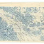
Map of Riverside county, California : showing sections, townships, ranch [i.e. range?] lines and topography / compiled by A.C. Fulmor, county surveyor.
Shows cities, roads, railroads, Colorado River Aqueduct of the Metropolitan Water District, lakes and wells. Relief shown by hachures and spot heights. Map copyrighted 1942 by J.F. Davidson. Blue line print. Map printed on 2 sheets and glued together.
UCLA LibraryFulmor, A. C.; Davidson, J. F.
1942
1:63 360

