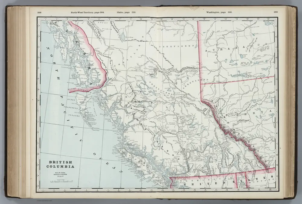
British Columbia.
1889
Cram, George
1:3m
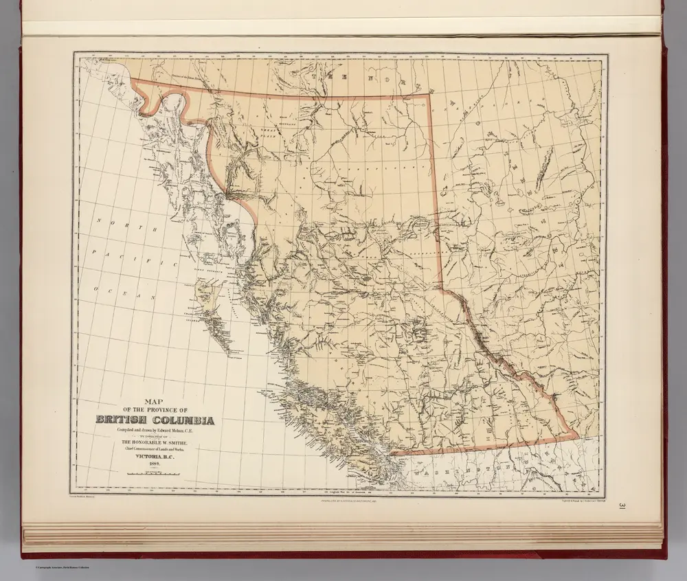
Facsimile: Map of the Province of British Columbia.
1884
Mohun, Edward
1:5m
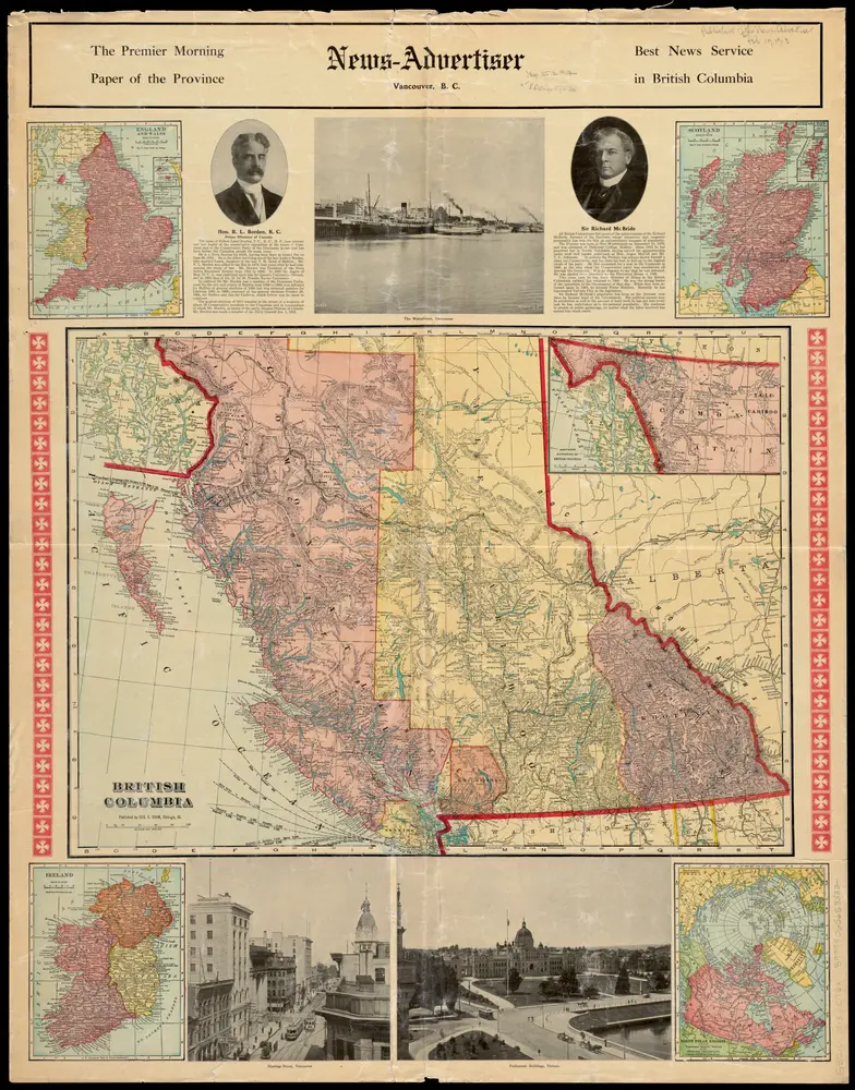
British Columbia
1913
1:2m
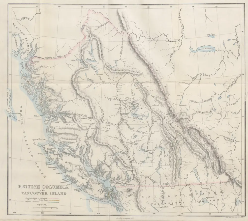
Vancouver Island and British Columbia. Their history, resources, and prospects. [With maps and illustrations.]
1865
Macfie, Matthew.
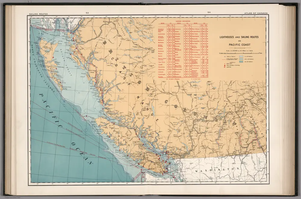
Lighthouses and sailing routes on Pacific Coast
1915
Chalifour, J.E.
1:2m
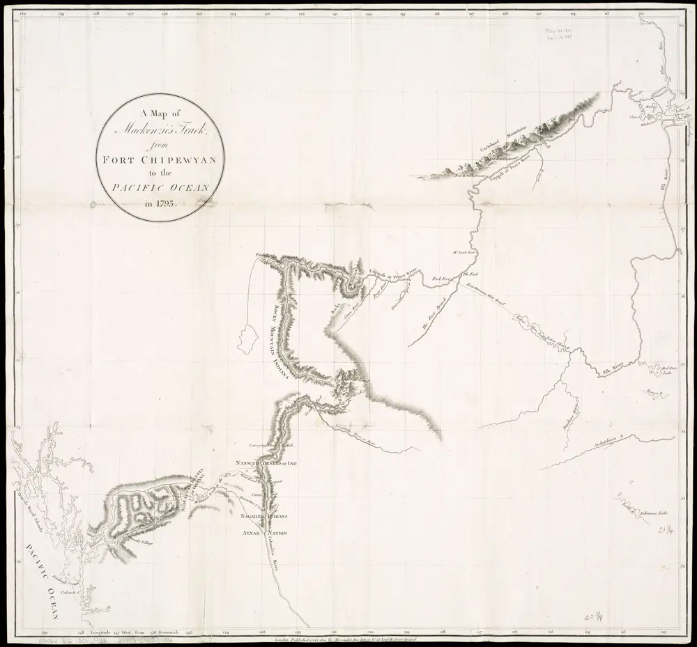
A map of Mackenzie's track from Fort Chipewyan to the Pacific Ocean in 1793
1801
1:2m
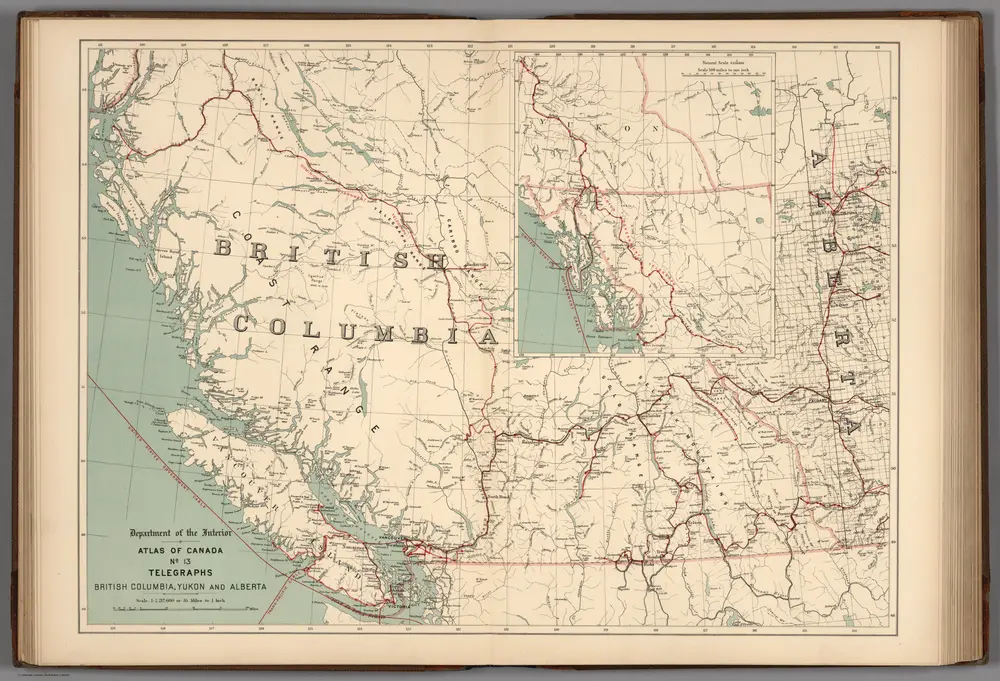
No.13, Telegraphs : British Columbia, Yukon and Alberta
1906
Canada. Department of Interior
1:2m
History of the Pacific States of North America
1882
Bancroft, Hubert Howe.
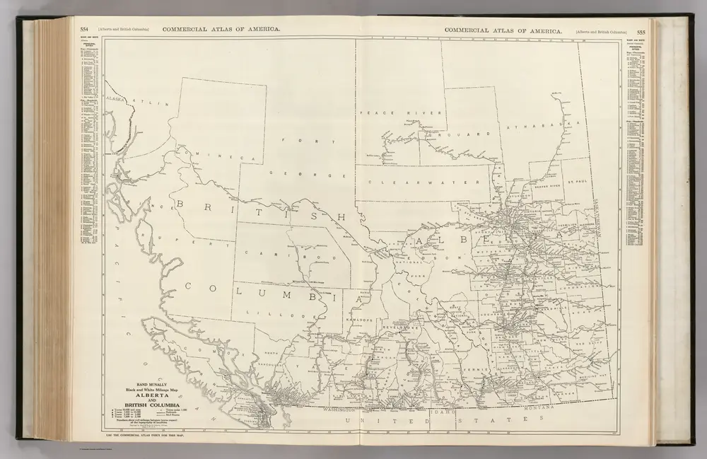
Alberta. British Columbia.
1924
Rand McNally and Company
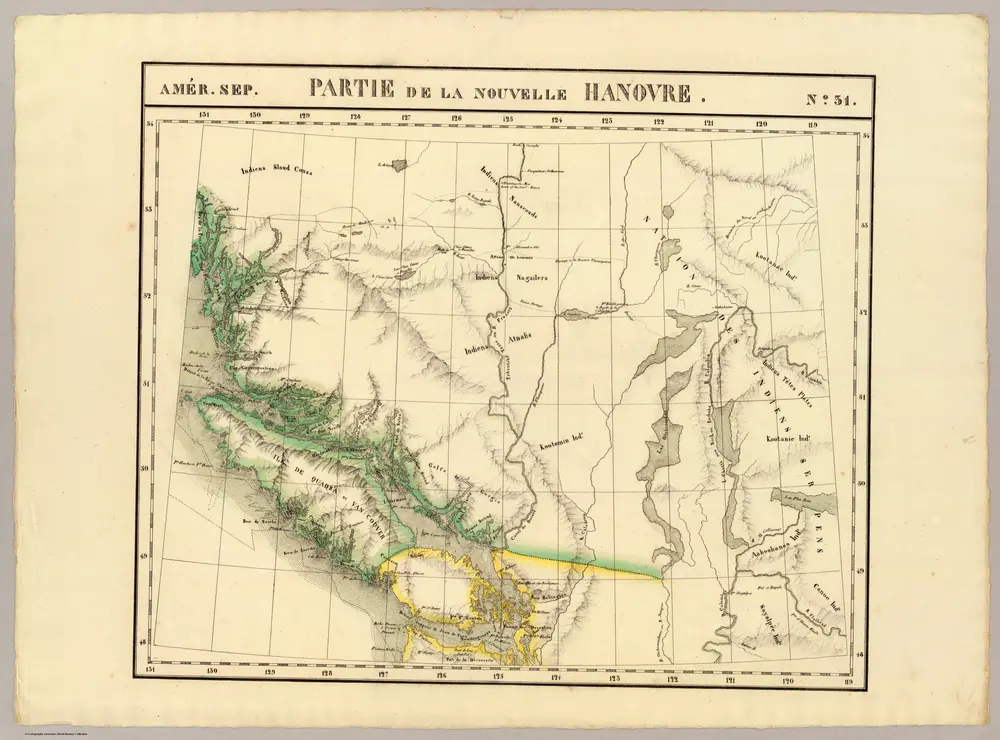
Partie, Nouvelle Hanovre. Amer. Sep. 31.
1827
Vandermaelen, Philippe, 1795-1869
1:2m