Mappe di Myrskylä
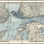 1870|Schubert, Friedrich Theodor1:1 400 000
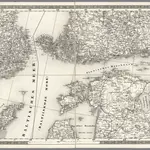 1837|Schubert, Friedrich Theodor1:1 400 000
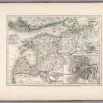 1854|Renner, L.1:3 500 000
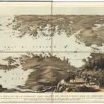 1855|Packer, Thomas
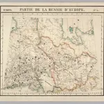 1827|Vandermaelen, Philippe, 1795-18691:1 641 836
 18551:1 440 000
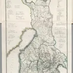 1829|Piadyshev, Vasilii Petrovich, 1758-18351:1 050 000
Vecchie mappe di Myrskylä
Scoprite il passato di Myrskylä sulle mappe storiche
Vecchie mappe di Myrskylä
Scoprite il passato di Myrskylä sulle mappe storiche
Alla ricerca di un Alternativa all'API di Google Maps?