Mappe di Hursley
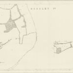 1866|Ordnance Survey1:2 500
 1866|Ordnance Survey1:2 500
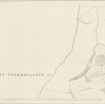 1866|Ordnance Survey1:2 500
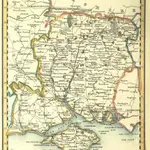 1842|PIGOT, James AND CO
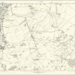 1869|Ordnance Survey1:10 560
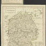 1835|engraved by Sidn. Hall.1:435 000
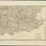 1830|under the superintendence of the Society for the Diffusion of Useful Knowledge1:778 000
Vecchie mappe di Hursley
Scoprite il passato di Hursley sulle mappe storiche
Vecchie mappe di Hursley
Scoprite il passato di Hursley sulle mappe storiche
Alla ricerca di un Alternativa all'API di Google Maps?