Proyecto
Comunidad
Noticias
Mi aplicación
Mis mapas
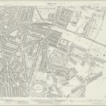
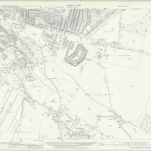
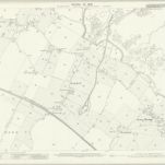
Kent XIX.8 (includes: Gillingham) - 25 Inch Map
1932
Ordnance Survey
1:3k
Kent XIX.8 (includes: Gillingham) - 25 Inch Map
1907
Ordnance Survey
1:3k
Kent XIX.8 (includes: Gillingham) - 25 Inch Map
1896
Ordnance Survey
1:3k
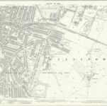
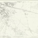
Kent XIX.12 (includes: Chatham; Gillingham) - 25 Inch Map
1939
Ordnance Survey
1:3k
Kent XIX.12 (includes: Chatham; Gillingham) - 25 Inch Map
1932
Ordnance Survey
1:3k
Kent XIX.12 (includes: Chatham; Gillingham) - 25 Inch Map
1907
Ordnance Survey
1:3k
Kent XIX.12 (includes: Chatham; Gillingham) - 25 Inch Map
1896
Ordnance Survey
1:3k
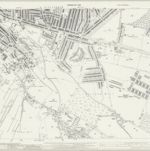
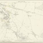
Rainham (Kent)
1797
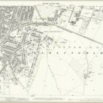
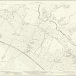
Kent XX.5 (includes: Gillingham) - 25 Inch Map
1932
Ordnance Survey
1:3k
Kent XX.5 (includes: Gillingham) - 25 Inch Map
1906
Ordnance Survey
1:3k
History
Mapas antiguos de Gillingham (Kent)
Descubra el pasado de Gillingham (Kent) en mapas históricos
Mapas antiguos de Gillingham (Kent)
Descubra el pasado de Gillingham (Kent) en mapas históricos
Explorar los mapas
Descubrir la historia
Región paterna
Medway
Lugares relacionados