Project
Community
News
My App
My maps
Maps of Zalaszombatfa
Advanced search
All
Private
Favorites
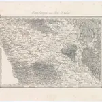
Umgebungen von Alsó Lendva
1873|Militärgeographisches Institut
1:144 000
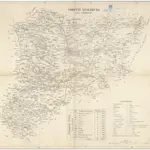
Comitat Eisenburg
1840
1:290 000
Spezial Karte des Marburger Kreises im Herzogthum Steyermark
1836|Jos. Fr. Kaiser
1:220 000
[Gratz
1873|Militärgeographisches Institut
1:300 000
Routen von und nach dem Badeorte Töplitz
1870|C. Albrecht
Agram
1873|Militärgeographisches Institut
1:300 000
V.3:11-15:XII: 2. Oesterreich. C. Ungarische erbstaaten, I. Koenigr: Ungarn, Gespanschaft 14-15 & 20-21
1828|Hermann, O.
1:200 000
1600
1650
1700
1750
1800
1850
1900
1950
2000
History
Old maps of Zalaszombatfa
Discover the past of Zalaszombatfa on historical maps
Old maps of Zalaszombatfa
Discover the past of Zalaszombatfa on historical maps
Explore Maps
Discover History
Parent places
Lenti District
Related places
© MapTiler
© OpenStreetMap
 1873|Militärgeographisches Institut1:144 000
 18401:290 000
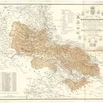 1836|Jos. Fr. Kaiser1:220 000
 1873|Militärgeographisches Institut1:300 000
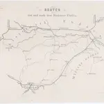 1870|C. Albrecht
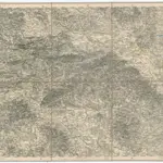 1873|Militärgeographisches Institut1:300 000
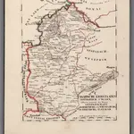 1828|Hermann, O.1:200 000