Maps of Waldfischbach-Burgalben
 1840|Steininger, Johann1:100 000
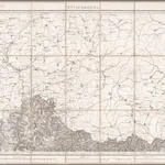 1866|Pelet, Jean Jacques Germaine; Dépôt de la Guerre1:80 000
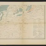
 1870|Johannes Wilhelm Liebenow 1822-18971:300 000
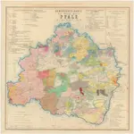 1874|Rau, J. G.
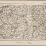
 1853|W.Feuerstein1:600 000
 1869|Migeon, J.1:192 300
 1825|Hermann, O.1:220 000