1941
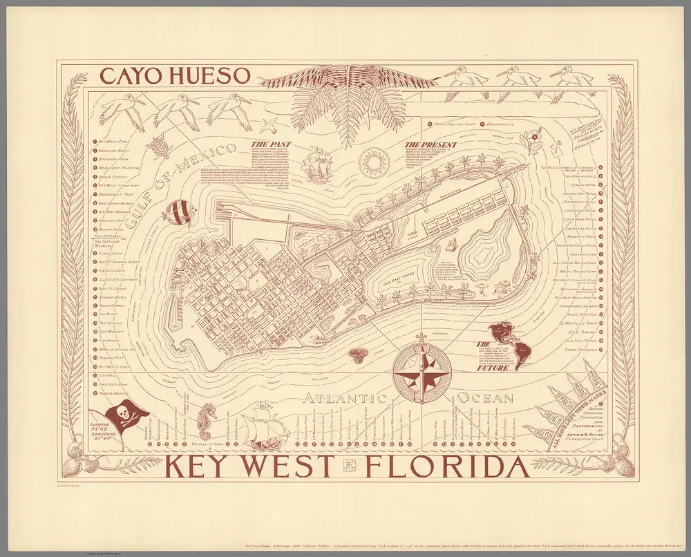
Suchy, Arthur B. (1901-1995)
1852
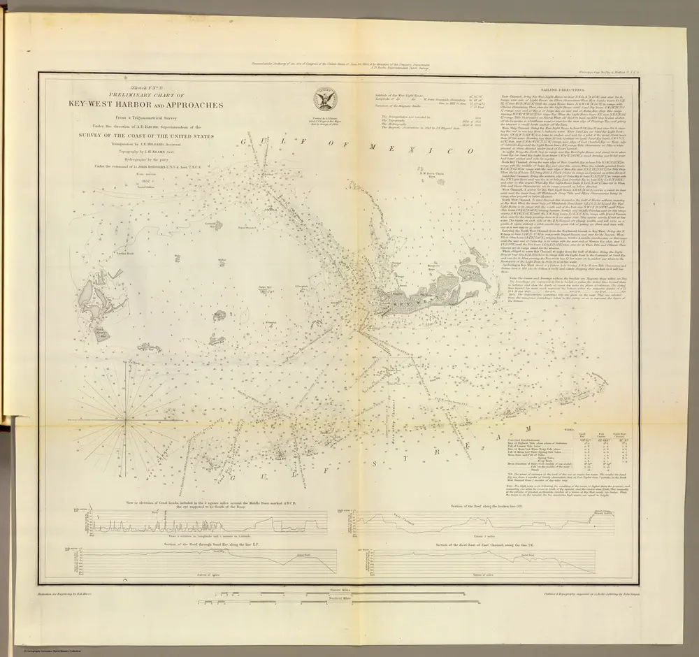
Bache, A. D.
1:100k
1868
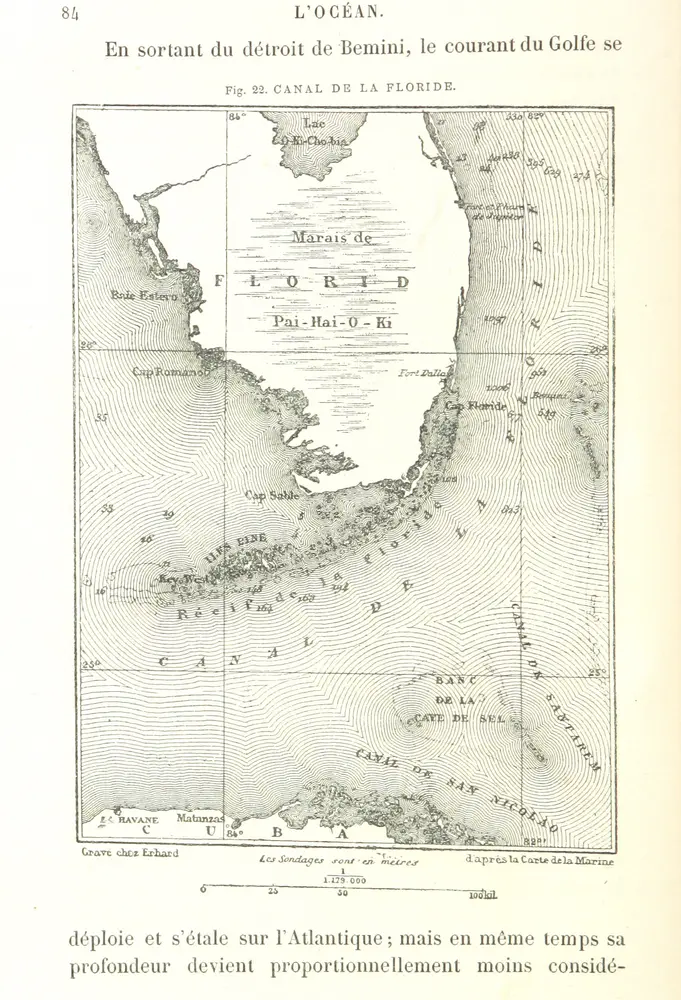
RECLUS, Élisée.
1948
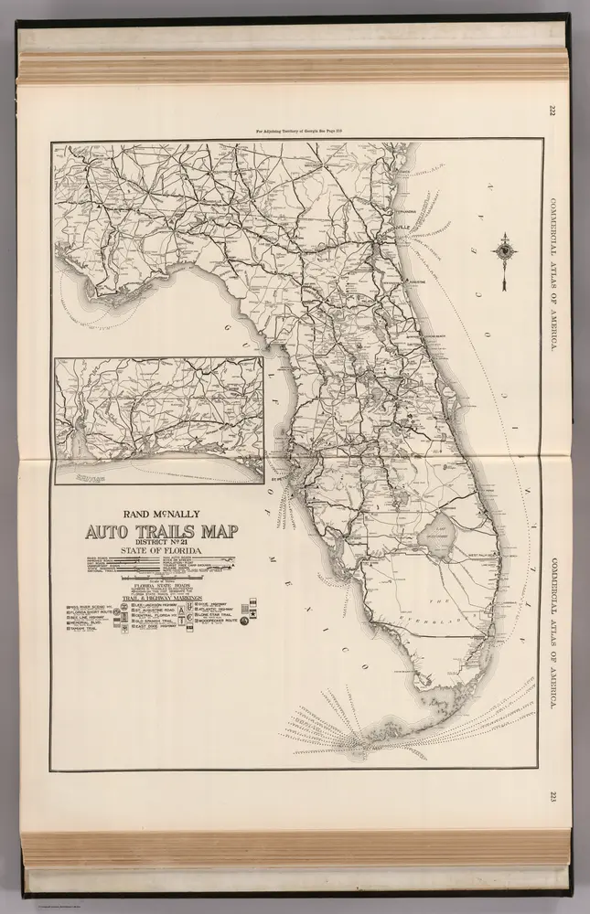
Rand McNally and Company
1950
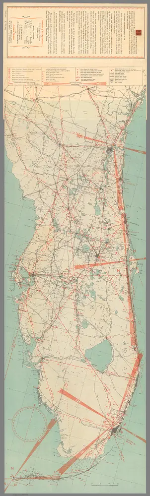
Aviation Department, Florida State Road Department
1:3m
1891
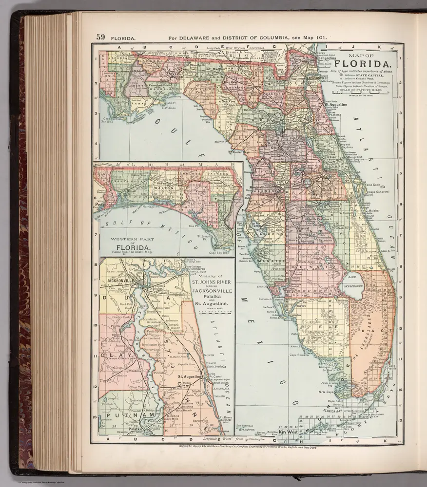
Appleton, D. & Co.
1:2m
1946
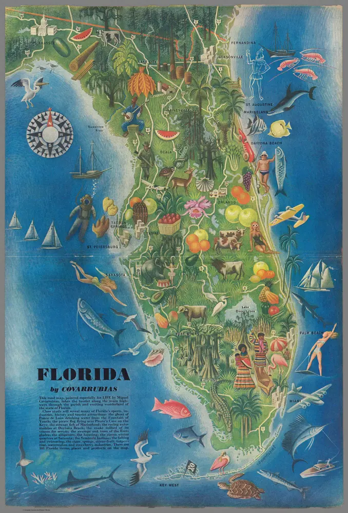
Covarrubias, Miguel (1904-1957)
1865
Schonberg & Co.
1:1m
1924
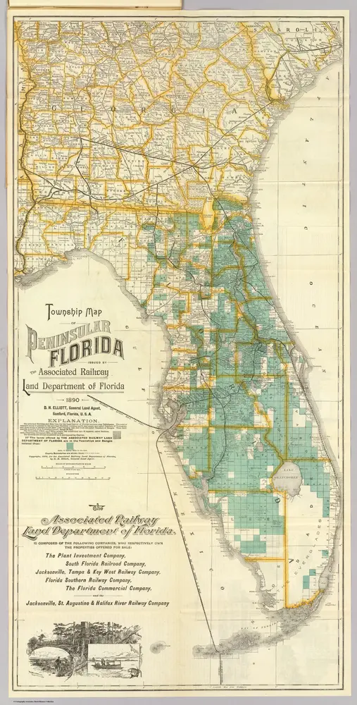
1890
Associated Railway Land Dept of Florida