Maps of Stavyshche Raion
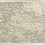 1875|Militärgeographisches Institut1:300 000
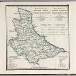 1829|Piadyshev, Vasilii Petrovich, 1758-18351:1 066 000
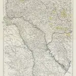 1850|entworfen und gezeichnet von F. Handtke1:900 000
 1819|Gleditsch1:1 637 000
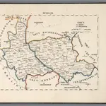 1829|Hermann, O.1:500 000
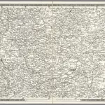 1837|Schubert, Friedrich Theodor1:1 400 000
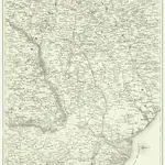 18301:1 500 000