Maps of Seiches-sur-le-Loir
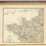
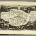 1856|Levasseur, Victor.1:580 000
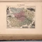 1869|Migeon, J.1:142 860
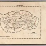 1825|Hermann, O.1:400 000
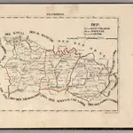 1825|Hermann, O.1:400 000
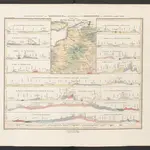 1852|Humboldt, Alexander von
 1830|Society for the Diffusion of Useful Knowledge (Great Britain)1:1 800 000
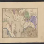 1841|Leonhard, Carl Cäsar von