Maps of Schaumburg, Illinois
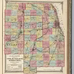
 1862|Rees, J. H.1:130 000
 1872|Lloyd, H.H.1:253 440
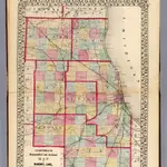 1870|Campbell, R.A.1:350 000
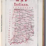 1866|Larrance, Isaac, 1804-18961:5 068 800
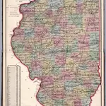 1871|Thompson and Everts1:887 040
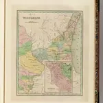 1838|Bradford, Thomas G.1:1 600 000
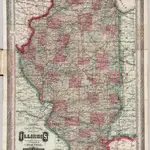 1873|Cram, George Franklin1:565 000