Maps of Rosengarten, Lower Saxony
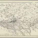 1860|Hamburg : Verlag der Lith. Institut von Ch. Fuchs1:100 000
 1860|Meyer, J.
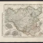
 1870|Johannes Wilhelm Liebenow 1822-18971:300 000
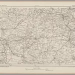
 1875|Militärgeographisches Institut1:300 000
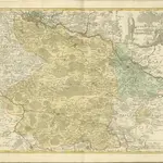 1852|Homannianos Heredes
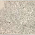
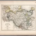
 1825|Hermann, O.1:150 000
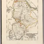
 1852|Radefeld, Hauptmann1:780 000
Old maps of Rosengarten, Lower Saxony
Discover the past of Rosengarten, Lower Saxony on historical maps
Old maps of Rosengarten, Lower Saxony
Discover the past of Rosengarten, Lower Saxony on historical maps
Looking for a Google Maps API Alternative?