Maps of Radziemice
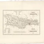 1833|Żebrawski, Theofil1:183 000
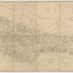 1820|Liechtenstern, Joseph Marx von1:114 700
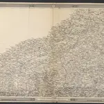
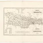 1833|Żebrawski, Theofil1:183 000
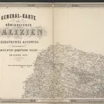 1875|herausgegeben vom k. k. militär-geographischen Institute im Jahre 1868
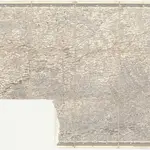
 1875|herausgegeben vom k. k. militär-geographischen Institute im Jahre 1868
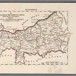 1828|Hermann, O.1:200 000
 18501:500 000