Maps of Plouyé
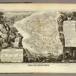 1856|Levasseur, Victor.1:580 000
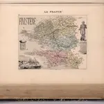 1869|Migeon, J.1:166 660
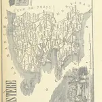 1864|LA BRUGÈRE, de Geographer
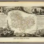 1856|Levasseur, Victor.1:571 000
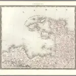 1838|Herder, Bartholomew1:500 000
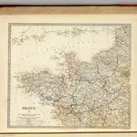 1830|Society for the Diffusion of Useful Knowledge (Great Britain)1:1 800 000
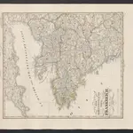 1854|Stieler, Adolf