Maps of Pavlova Ves
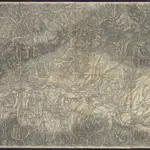 1871|[K.u.k. Militärgeographisches Institut]1:75 000
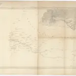 1855|Kummersberg, Carl von1:115 000
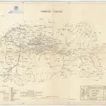 18551:288 000
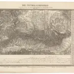 1830|Sydow, A. von1:200 000
 1827|Bojtár, St.1:190 000
 18401:290 000
 1875|herausgegeben vom k. k. militär-geographischen Institute im Jahre 1868