Maps of Lövő
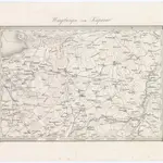 1873|Militärgeographisches Institut1:144 000
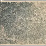
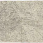 1860|K. u. k. Militärgeographisches Institut1:144 000
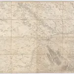 1860|K.K. Militärisch-Geographisches Institut1:14 400
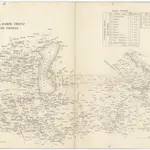 18401:280 000
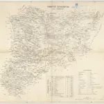 18401:290 000
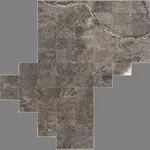 1837|Schweickhardt, Franz Xaver1:31 500
 1873|Militärgeographisches Institut1:300 000