Maps of La Chenalotte
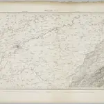 1833|Dufour, G. H.1:100 000
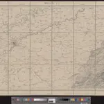 1845|vermessen und hrsg. auf Befehl der Eidgenössischen Behörden ; aufgenommen unter der Aufsicht des Generals G.H. Dufour1:100 000
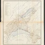 1874|Bonstetten, Gustav Karl <<von>>1:210 000
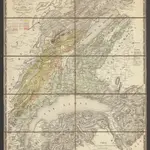 1839|Lausanne : Spengler et Comp[agn]ie lithographes
 1836|publ. par Michel fils ainé1:670 000
 1853|Artistische Anstalt F. Malté (Stuttgart)1:200 000
 1870|Johannes Wilhelm Liebenow 1822-18971:300 000
Old maps of La Chenalotte
Discover the past of La Chenalotte on historical maps
Old maps of La Chenalotte
Discover the past of La Chenalotte on historical maps
Looking for a Google Maps API Alternative?