Project
Community
News
My App
My maps
Maps of Jerzmanki
Advanced search
All
Private
Favorites
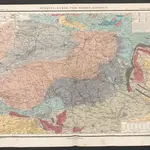
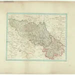
[Spezial-Karte vom Riesen-Gebirge]
1852|Humboldt, Alexander von
II. vojenské mapování 1
1847
1:144 000
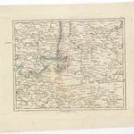
V.2:6-10:VIII. Schsen. 5. Der Lausitzer Kreis. oder Prov: Lausitz
1825|Hermann, O.
1:100 000
Das Land an der Flüssen Neisse, Queis, Bober, Katzbach und der wüthenden Neisse
1800
1:440 000
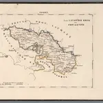
Die Ober Lausitz
1820|Riedig, Christian G.
1:25 000
Bunzlauer Kreis
1820
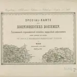
Boleslawský kraj w králowstwí českém
1849|Friedrich Kretzschmar
1:145 000
1600
1650
1700
1750
1800
1850
1900
1950
2000
History
Old maps of Jerzmanki
Discover the past of Jerzmanki on historical maps
Old maps of Jerzmanki
Discover the past of Jerzmanki on historical maps
Explore Maps
Discover History
Parent places
Gmina Zgorzelec
Related places
© MapTiler
© OpenStreetMap
 1852|Humboldt, Alexander von
 18471:144 000
 1825|Hermann, O.1:100 000
 18001:440 000
 1820|Riedig, Christian G.1:25 000
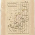 1820
1820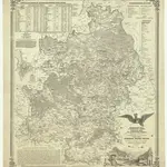 1849|Friedrich Kretzschmar1:145 000