Maps of Herborn, Rhineland-Palatinate
 1850|Berlin : bei Simon Schropp u. Comp.
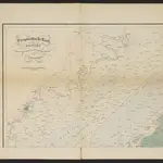 1840|Steininger, Johann1:100 000
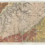 1855|Heinrich von Dechen1:80 000
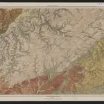
 1870|Johannes Wilhelm Liebenow 1822-18971:300 000
 1874|Rau, J. G.
 1853|W.Feuerstein1:600 000
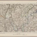
 1825|Hermann, O.1:220 000