Maps of Drahichyn District
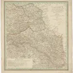 1825|Streit, Friedrich Wilhelm1:1 100 000
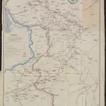 1831|Dembiński, Henryk
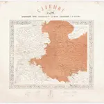 1867|Orel, Ja. O.1:1 480 000
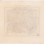 1867|Orel-Ošmjancev, Ja.1:1 480 000
 1875|Wien : K.K. Militär Geografisches Institut1:1 200 000
 1875|Wien : K.K. Militär Geografisches Institut1:1 200 000
 1837|Schubert, Friedrich Theodor1:1 400 000
Old maps of Drahichyn District
Discover the past of Drahichyn District on historical maps
Old maps of Drahichyn District
Discover the past of Drahichyn District on historical maps
Looking for a Google Maps API Alternative?