1887
1:317k
1861
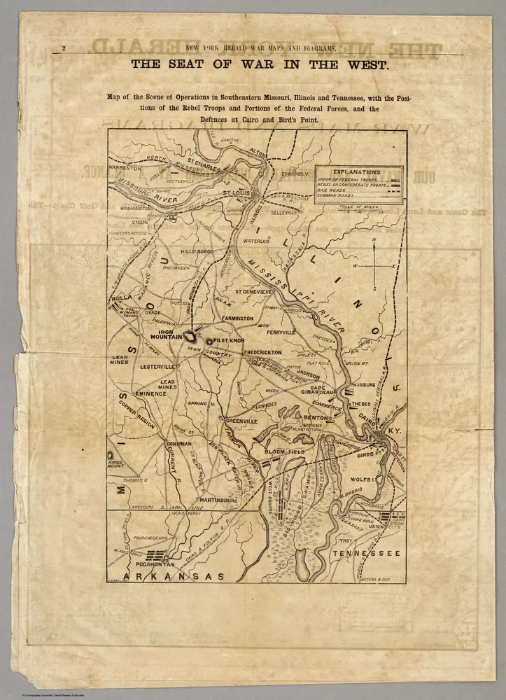
New York Herald
1:950k
1895
United States. War Department
1:634k
1862
L. Prang & Co.
1876
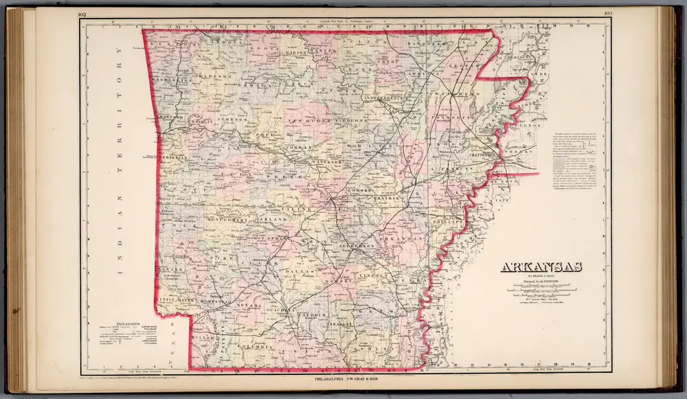
Gray, Frank A.
1:1m
1863
FISHER, Richard Swainson.
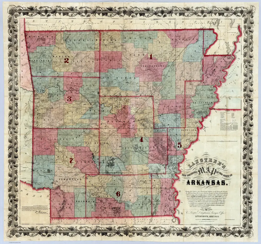
1859
Colton, J.H.
1:530k
1909
Cram, George Franklin; Davis, Ellis Arthur
1:2m
1855
Colton, J. H.