Project
Community
News
My App
My maps
Maps of Brunsville, Iowa
Advanced search
All
Private
Favorites
Map of the Wagon-Road from Platte River via Omaha Reserve and Dakota City to Running Water River.
1858|Campbell, Albert
1:633 600
Nebraska
1857|Wells, John G.
1:506 880
Sections on the Missouri River, from No. 20 M, to No. 40 M.
1852|Owen, David Dale
Sectional Map of the State of Iowa
1869|Chapman, Silas
1:650 000
Iowa.
1874|Colton, G.W.
1:950 000
Iowa.
1869|Colton, G.W.
1:950 000
County Seats in Nebraska
1866|Larrance, Isaac, 1804-1896
1:5 068 800
1600
1650
1700
1750
1800
1850
1900
1950
2000
History
Old maps of Brunsville, Iowa
Discover the past of Brunsville, Iowa on historical maps
Old maps of Brunsville, Iowa
Discover the past of Brunsville, Iowa on historical maps
Explore Maps
Discover History
Parent places
Plymouth County, Iowa
Related places
© MapTiler
© OpenStreetMap
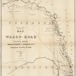 1858|Campbell, Albert1:633 600
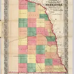 1857|Wells, John G.1:506 880
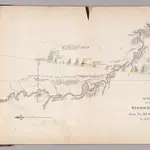 1852|Owen, David Dale
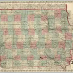 1869|Chapman, Silas1:650 000
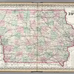 1874|Colton, G.W.1:950 000
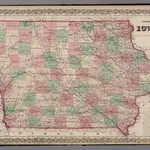 1869|Colton, G.W.1:950 000
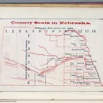 1866|Larrance, Isaac, 1804-18961:5 068 800