Karten von Sharon Springs (Kansas)
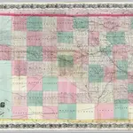 1870|Colton, G. W. & C. B.1:570 240
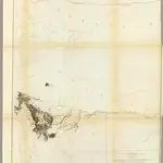 1861|Gunnison, J.W.1:760 320
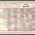 1873|Gray, O.W.1:1 140 000
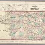 1874|Gray, Ormando Willis1:1 159 000
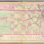 1874|Asher & Adams1:1 267 200
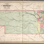 1859|Mitchell, Samuel Augustus1:1 457 280
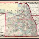 1874|Mitchell, Samuel Augustus Jr.1:1 900 000