Karten von Newton County (Indiana)
 1870|Campbell, R.A.1:350 000
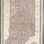 1870|Johnson, A.J.1:862 000
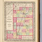
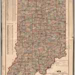 1874|Higgins, Belden & Co.
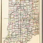 1866|U.S. General Land Office1:1 140 480
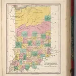 1827|Finley, Anthony1:1 675 000
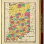 1831|Finley, Anthony1:1 675 000
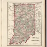 1874|Gray, Ormando Willis1:1 233 000