Karten von Miles City (Montana)
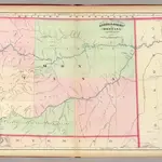 1874|Asher & Adams1:1 267 200
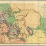 1869|Raynolds, William F.1:1 200 000
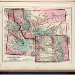 1873|Gray, O.W.1:3 168 000
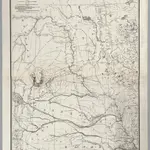 1867|U. S. Army. Corps of Engineers1:1 200 000
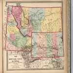 1872|Lloyd, H.H.1:2 947 516
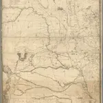 1859|Warren, Gouverneur Kemble, 1830-18821:1 200 000
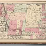 1873|Williams, J.David1:3 499 000