Karten von Baddeck
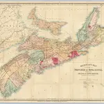 1868|Mackinlay, A. & W.1:570 240
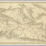 1855|Mackay, William1:390 000
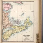 1865|Society for the Diffusion of Useful Knowledge (Great Britain)1:1 750 000
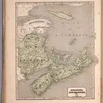 1845|Breese, Samuel1:2 250 000
 1865|Mitchell, Samuel Augustus Jr.1:3 000 000
 1865|Colton, G.W.1:1 500 000
 1854
1854